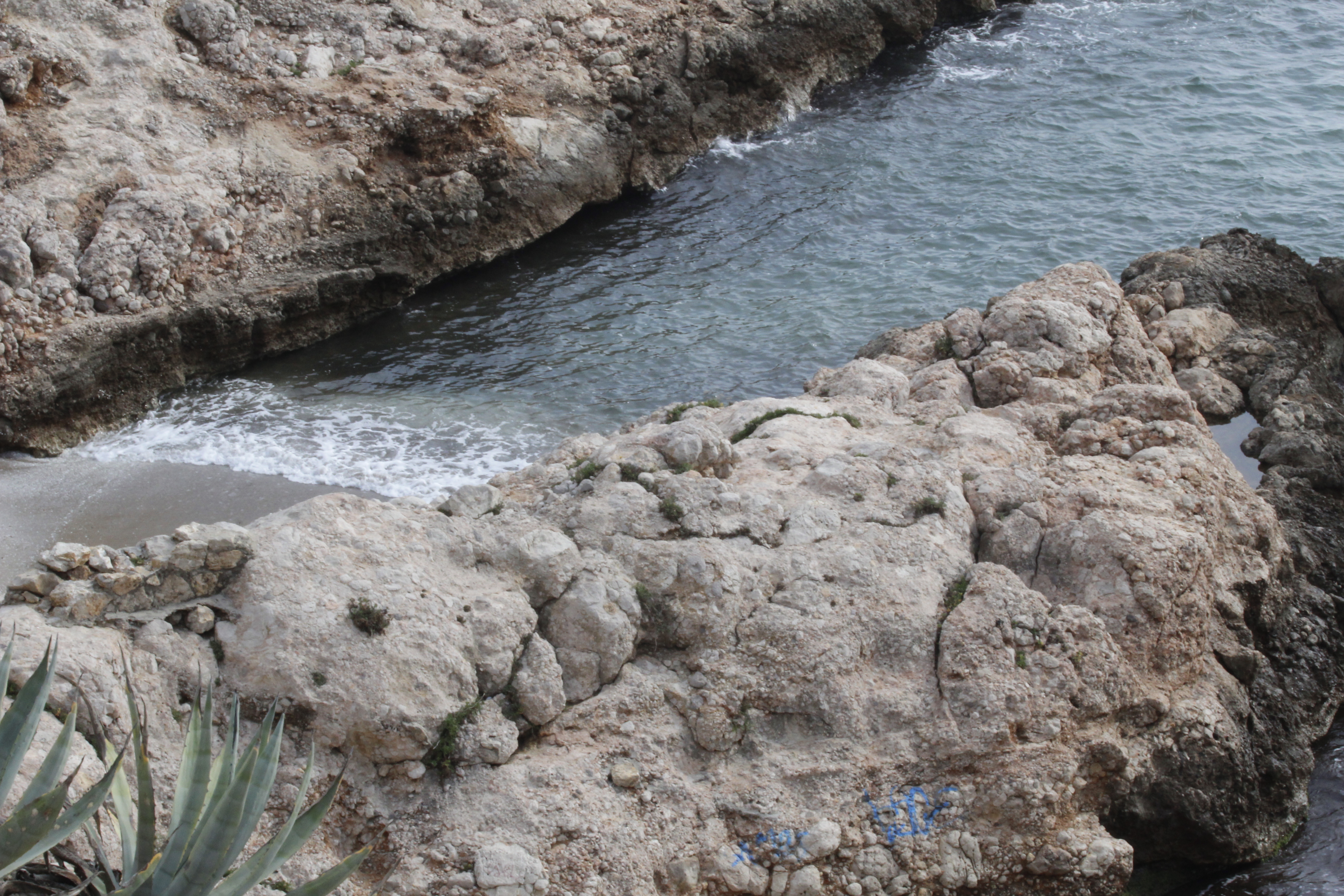
Sitges Coast being checked for archaeological sitesUnderwater surveys are being done to try to list, locate and analyse archaeological sites, on the coast of Sitges
Using a team organised by local Museums and the city of Sitges.
Using a team organised by local Museums and the city of Sitges.
For addition to the archaeological map of Catalonia
In line with SASMAP maritime archaeological objectives
(European Best practice)
The inventory aims to:
- Map exact location of discovered sites
- Decide potential sites with the help of divers, fishermen and seafarers
- Determine condition of sites
- Decide which areas to protect during the regeneration of beaches
- Consider museological issues, tourism potential and risks of damage to fragile sites
- 20 person team (led by Pere Izquierdo and Fric Malagelada
- 3D scanning of objects and careful removal to CASC laboratories (kept wet and stabilised)
CASC: Center for Applied Scientific Computing – Conducts world class, collaborative scientific research and development
Archaeological Map of Catalonia
patrimoni.gencat.cat says:
The Archaeological Inventory or Map of Catalonia is a tool that shows you the current status of our archaeological heritage. It brings together information from all the sites and archaeological elements that are known in our country.
http://patrimoni.gencat.cat/en/temes/arqueologia/arqueo_el_patrimoni_arqueologic_de_catalunya/